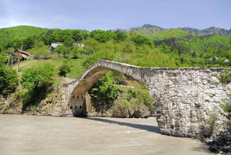
The road
The route begins at Dandalo Bridge (Batumi-Akhaltsikhe Highway) - behind it, goes up the forest-covered slope and follows the path; in approximately 300 m it joins the village road. After passing 1.5 km to the east it reaches the edge of the forest, where the steep section starts, ending at the spring and gorge locked by the fallen trees, and bringing us close to the Kaviani Fortress. From Kaviani Fortress we continue to the east and in approximately 2 km we will reach road to Kldisubani Village. The descending path brings us the road heading towards Ajaristskali Valley. The route ends at Hanging Bridge, by which we will cross the river and reach Batumi-Akhaltsikhe Highway.
Facts
- Route Start/Finish: Dandalo Bridge/Suspended Bridge
- Route Length: 5.6 km
- Route Duration: Half Day
- Route Type: Walking
- Route Difficulty: Medium
- Route Seasonal Prevalance: not recommended in deep snow conditions
- Min/Max m. above sea-level: 312/514
- Distance from Batumi: 55.5 km
- Cellular network coverage: Completely
Things to see
- Dandalo Bridge (IX-X)
- Kaviani Fortress (XII-XIII)
- Hanging Bridge
INFORMATION


 Keda Municipality Walking Route
